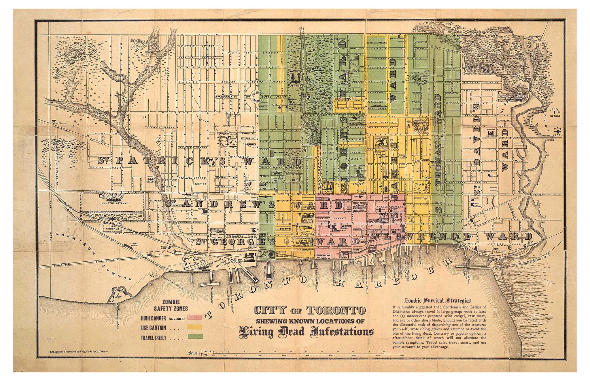
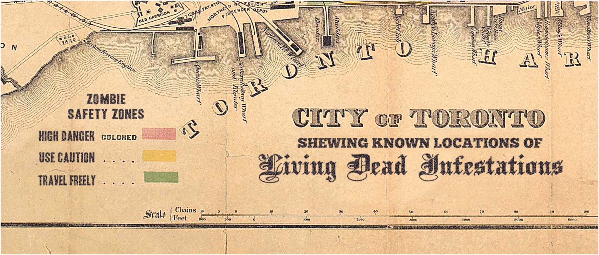
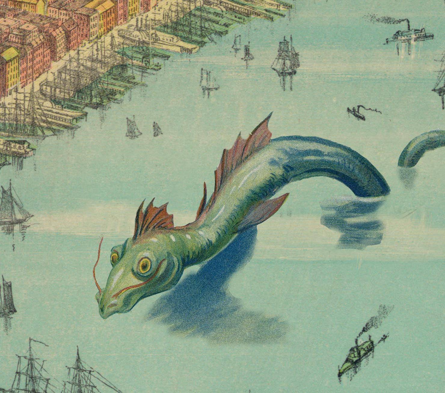
Toronto and the Living Dead
$20.00
Comes with this description: In 1847 Toronto, like many other North American cities, was experiencing a Zombie epidemic. Like other metropolitan areas, neighborhoods were broken up into safe zones and maps distributed to the finer classes of people. This map is unique because of the instructions and advice on surviving the living dead menace, although citizens of Toronto today might find it less than useful.
Share:
Related Items
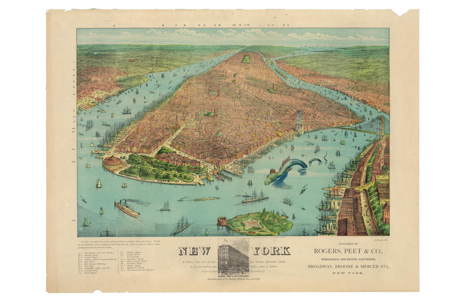
A Birdseye View of Manhattan
$20.00
What fine old knickerbocker wouldn't be happy to have this 11 x 17 map hanging on their wall? Comes with this description: Rogers, Peet, & Co. produced this wonderfully colorful...
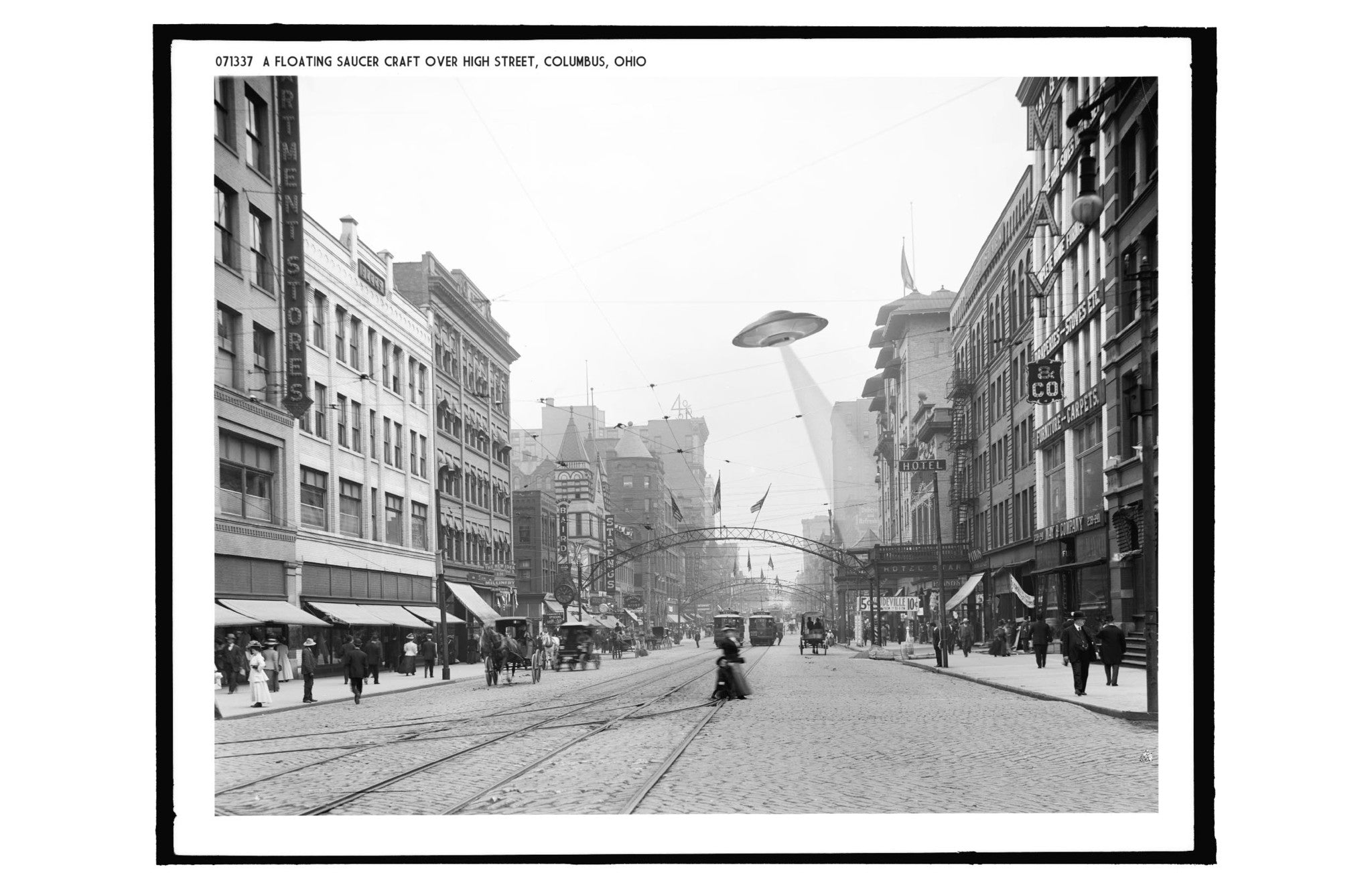
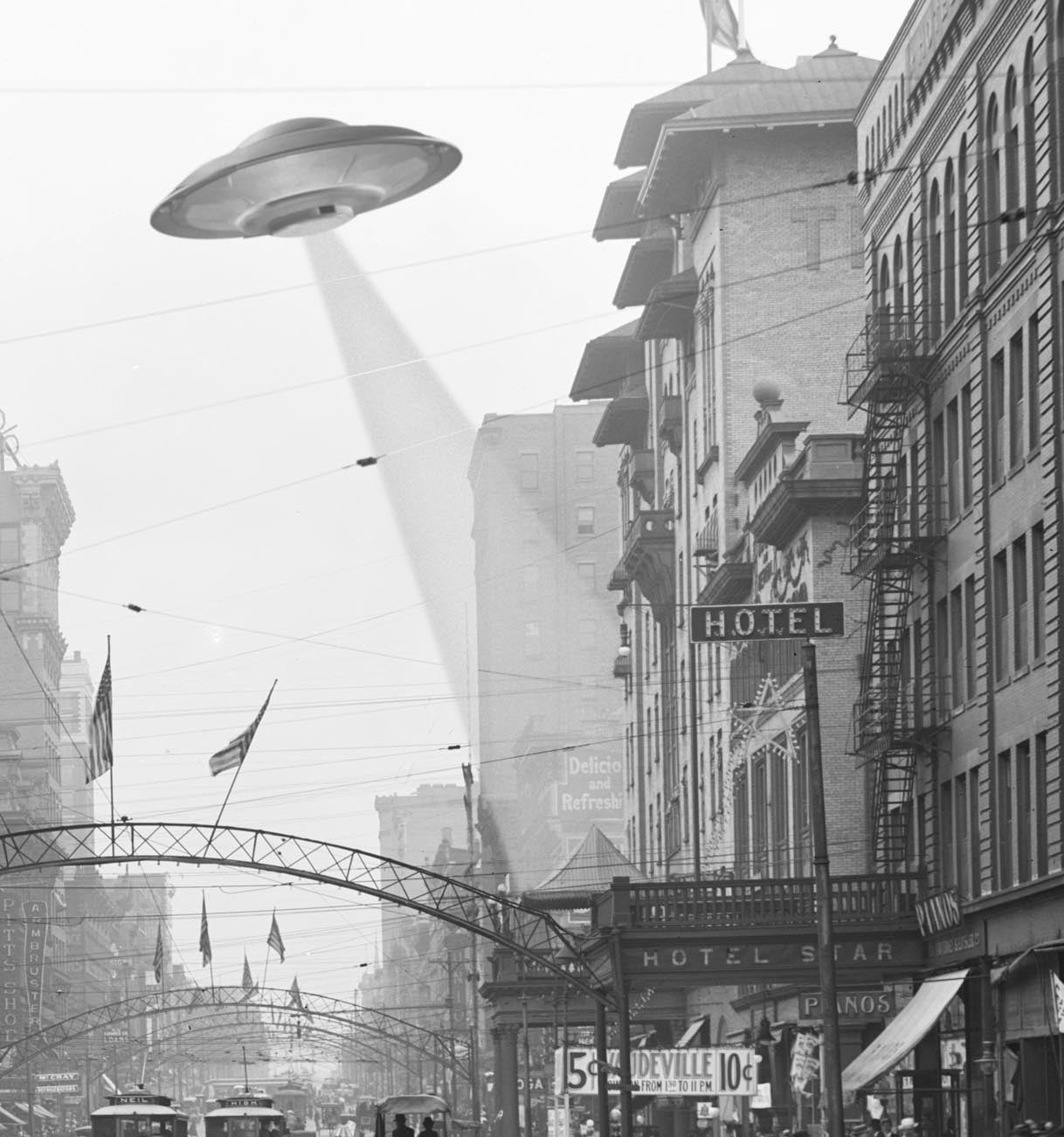
A Floating Saucer Over Columbus
$20.00
Ah, High Street! Jewel of Columbus, center of commerce and industry! Home to UFOs! Comes with this description: "1905, Columbus Ohio: The down-town area of Columbus Ohio bustled with activity...
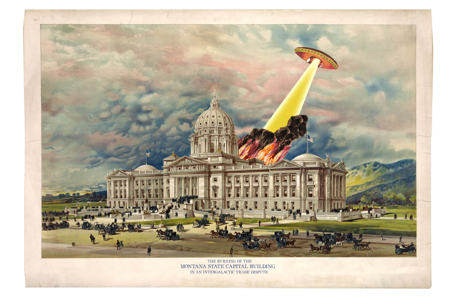
A Flying Saucer in Helena, Montana
$20.00
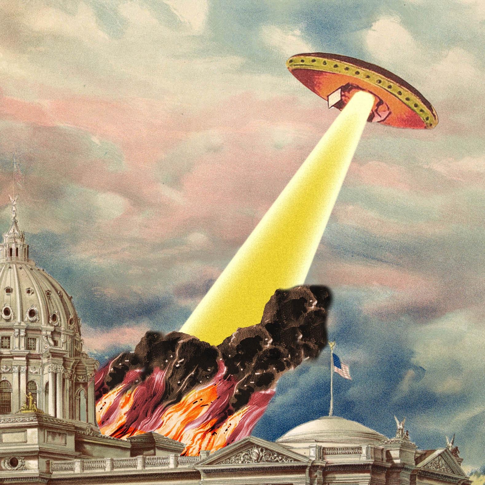
The beautiful capitol dome in Helena, Montana shines light a beacon in this beautiful print, handsomely light up by flames and smoke from a flying saucer attack. Those pesky flying...
News & Updates
Sign up to get the latest on sales, new releases and more …
Studio
Open Fri & Sat, 12-5pm at 517 Greenfield Ave in Pittsburgh, PA. Click here to learn more about the Studio
