
Washington D.C. and the Living Dead
$20.00
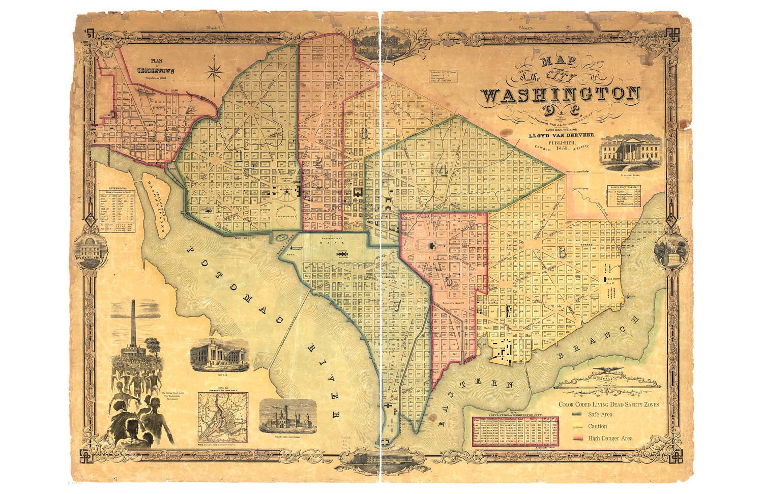
Stay safe in your travels to our nation's Capitol with this 11 x 17 inch map of Zombie safe areas!
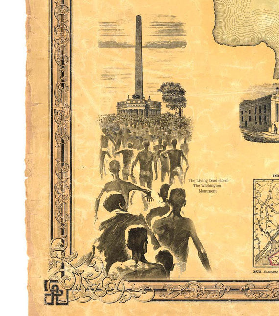
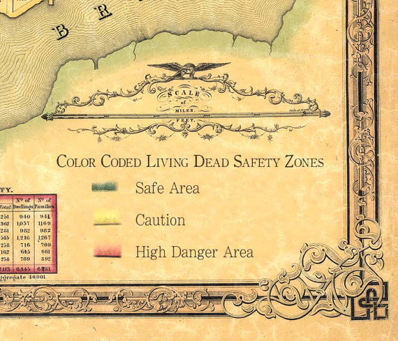
Comes with this description: This hand-colored map of the District of Columbia dates from approximately 1851 and includes a remarkable about of detail about the initial construction of the city. The descriptions of the neighborhoods as “Color-Coded Safety Zones” refers to the war-like status of the battle between the citizens of Washington and the flesh-eating, shambling denizens of the night.
Related Items

A Birdseye View of Manhattan
$20.00
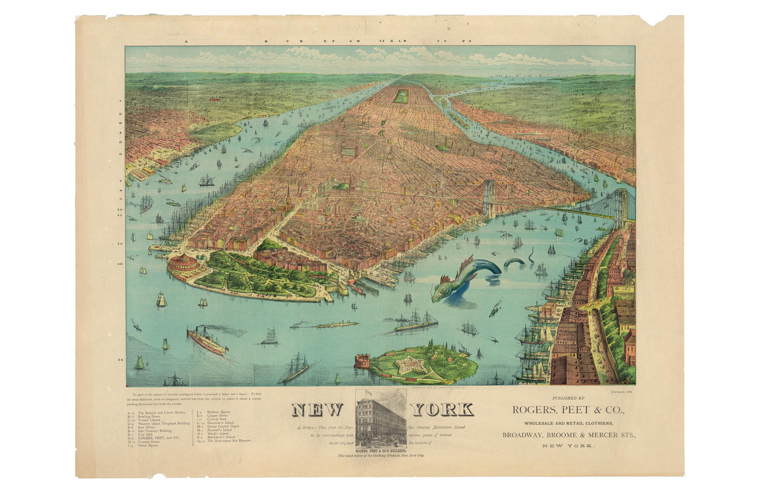
What fine old knickerbocker wouldn't be happy to have this 11 x 17 map hanging on their wall? Comes with this description: Rogers, Peet, & Co. produced this wonderfully colorful...
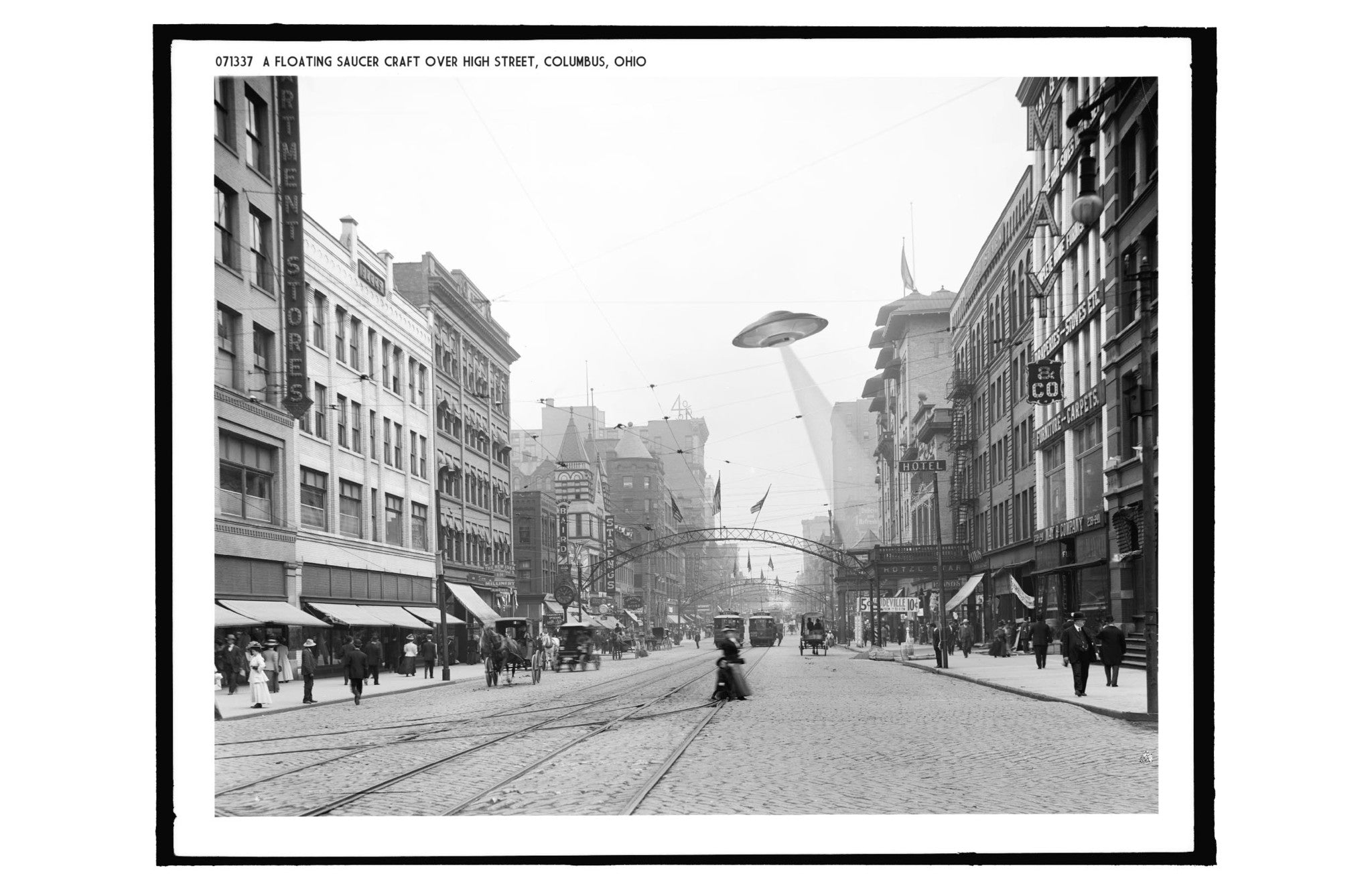
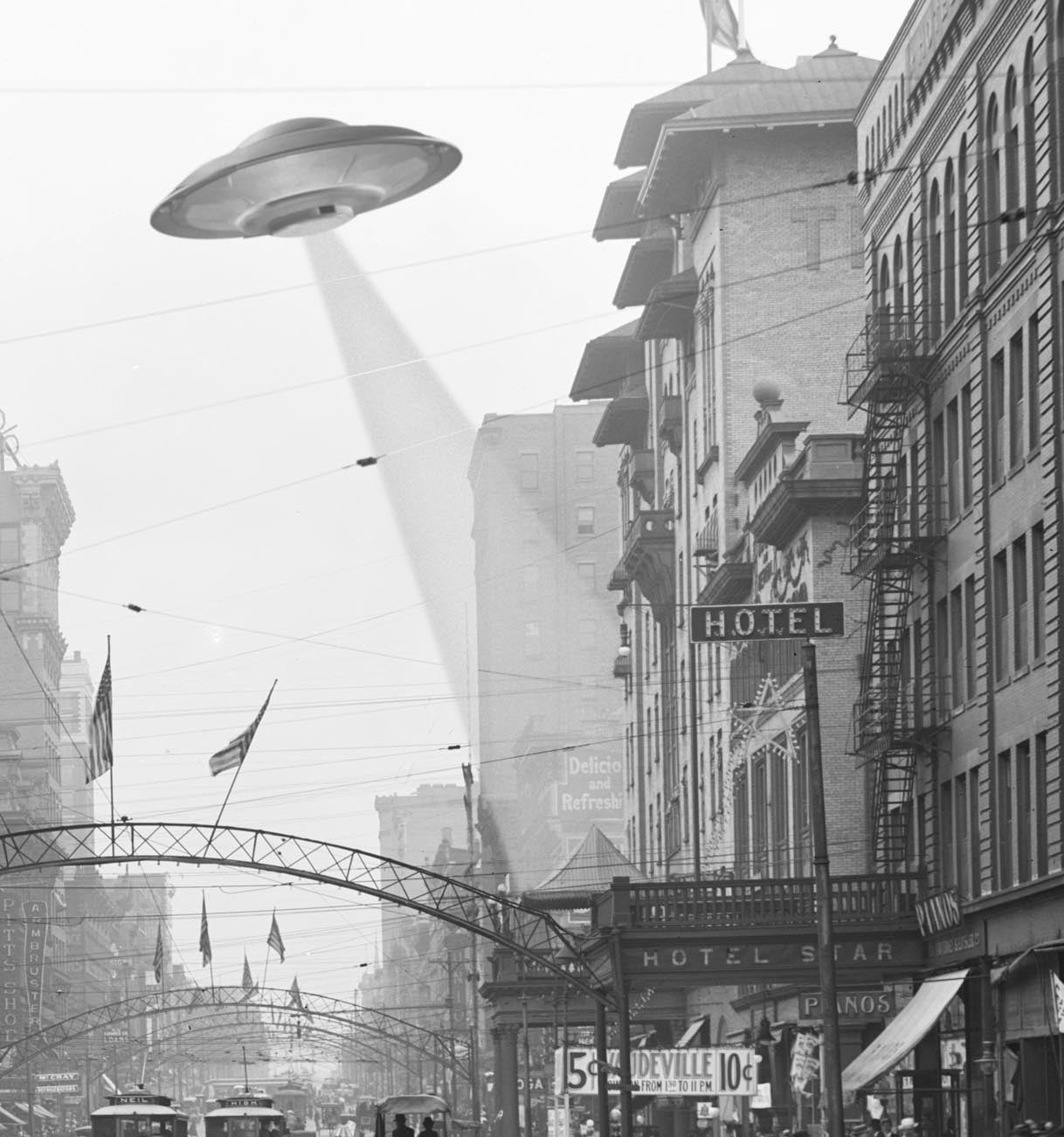
A Floating Saucer Over Columbus
$20.00
Ah, High Street! Jewel of Columbus, center of commerce and industry! Home to UFOs! Comes with this description: "1905, Columbus Ohio: The down-town area of Columbus Ohio bustled with activity...
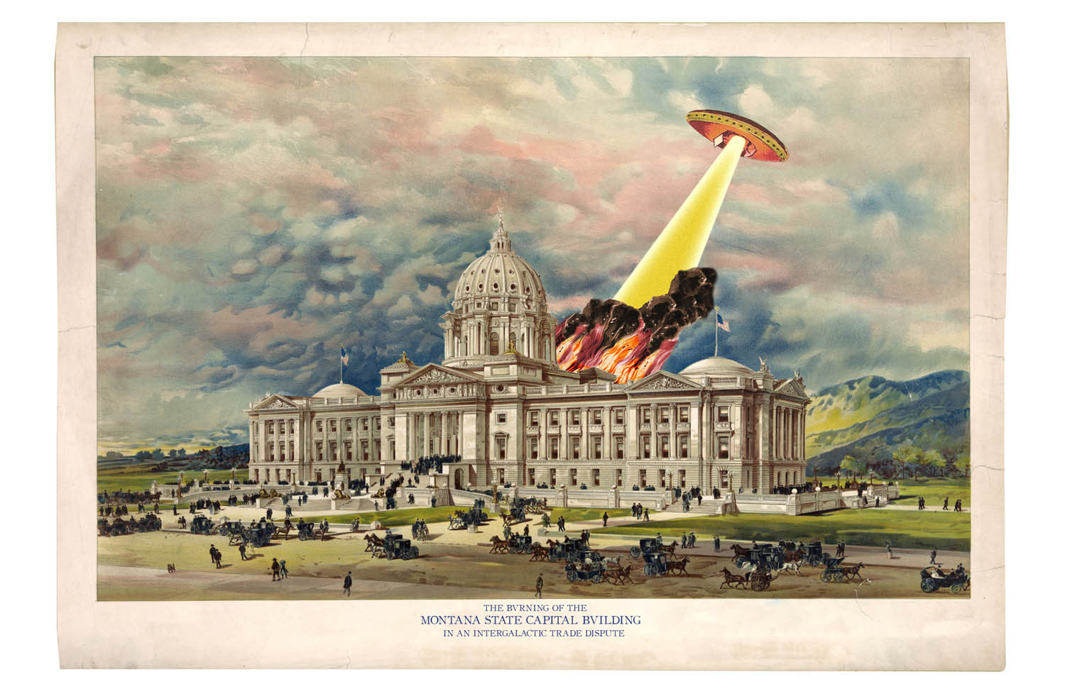
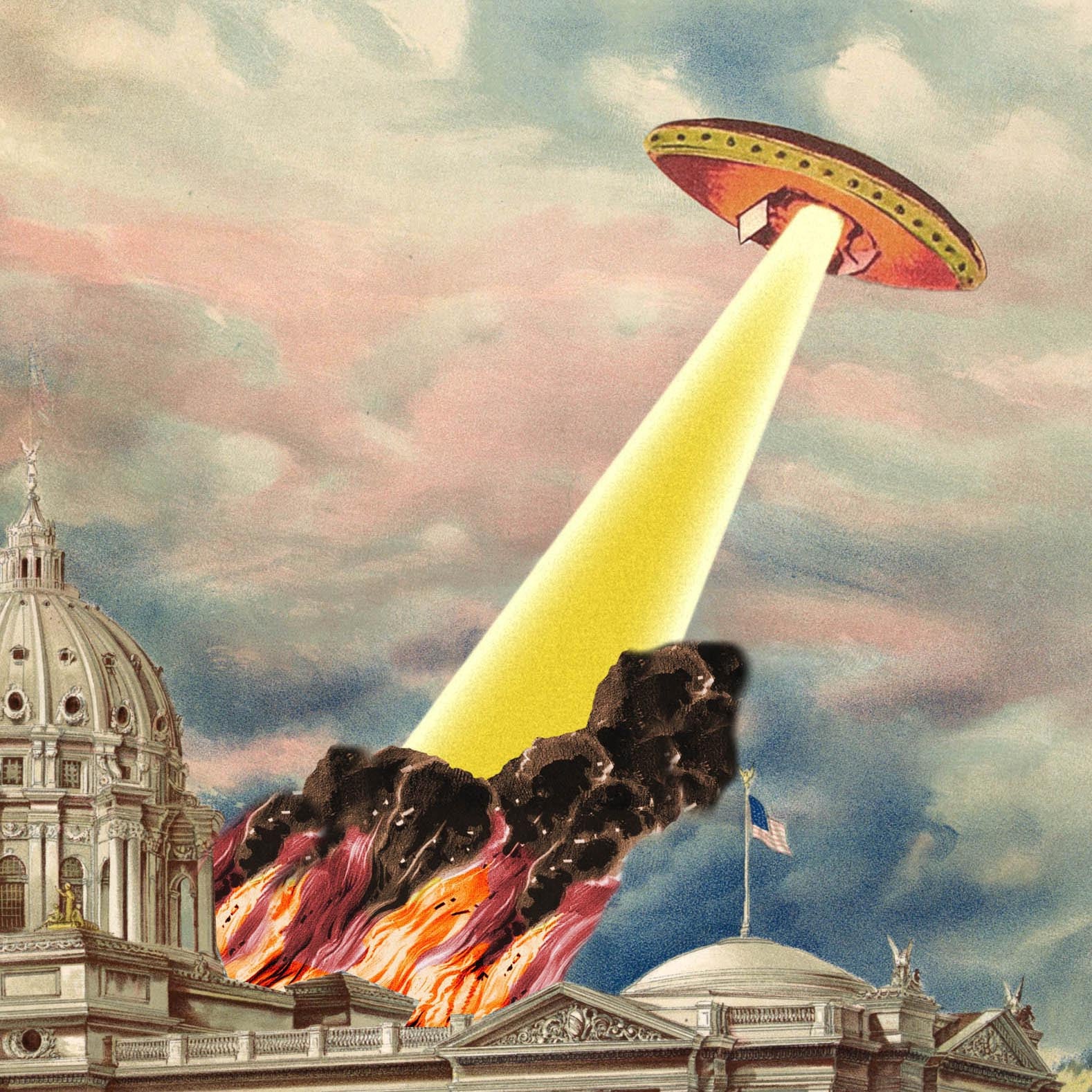
A Flying Saucer in Helena, Montana
$20.00
The beautiful capitol dome in Helena, Montana shines light a beacon in this beautiful print, handsomely light up by flames and smoke from a flying saucer attack. Those pesky flying...