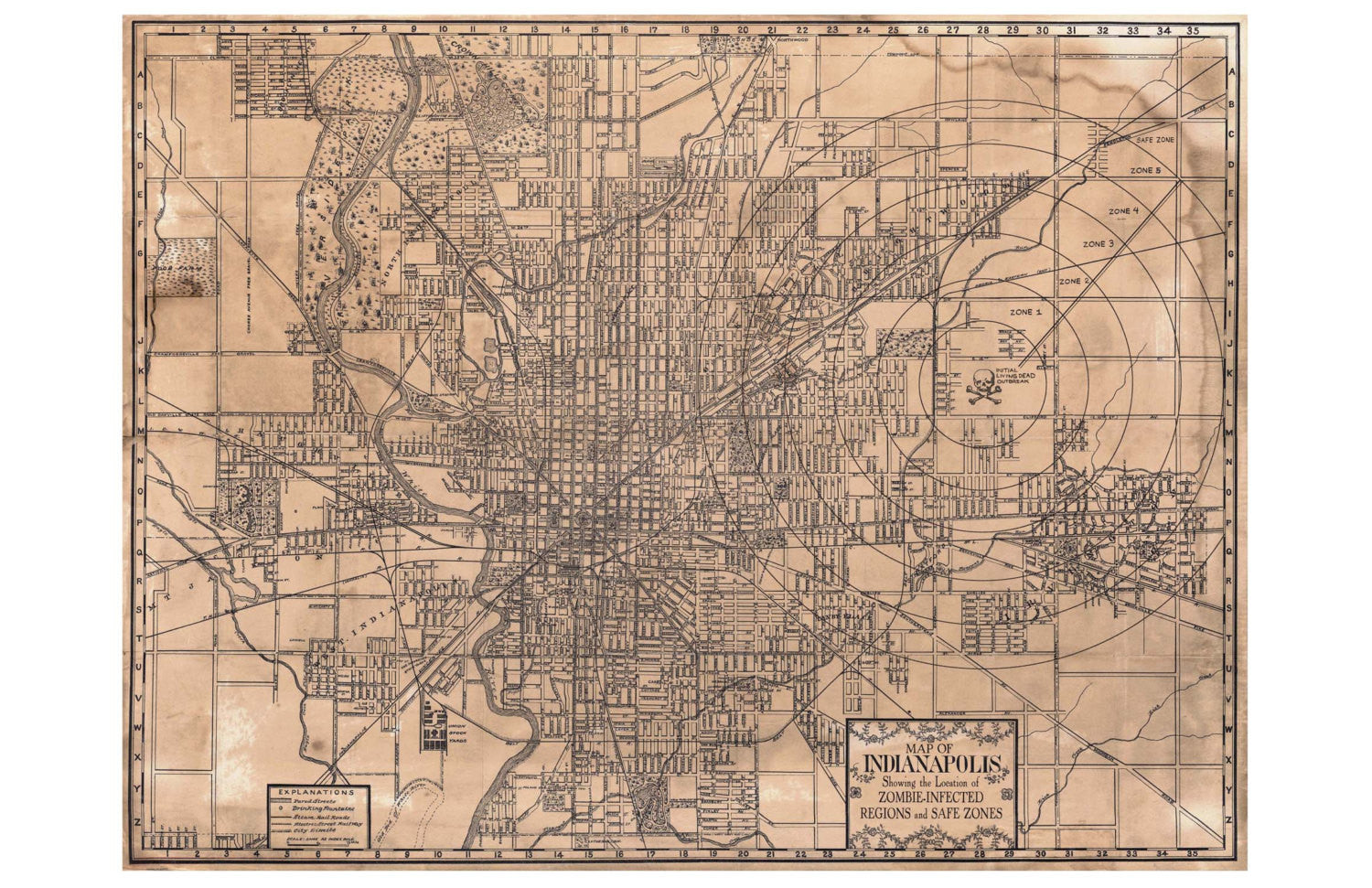
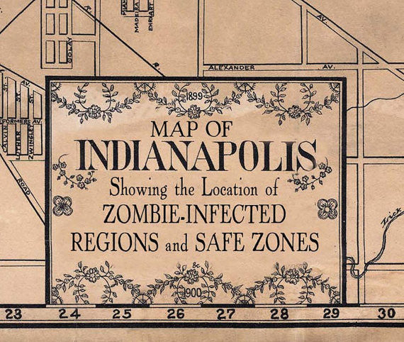
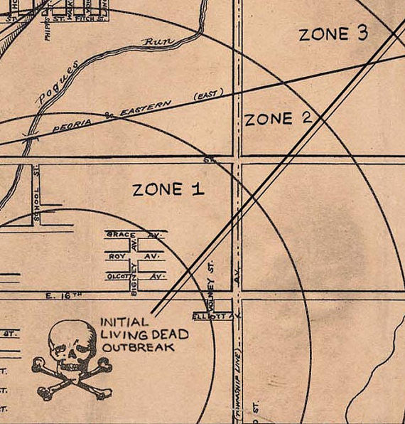
Educational as well as entertaining, this 11 x 17 inch reproduction of an Indianapolis map features historic landmarks, neighborhoods, and ZOMBIES!
Comes with this description: Like other Midwest cities, Indianapolis faced many issues during its period of growth and expansion in the late 19th century. The region’s dependency on local farming and crop rotation led to weather-related economic downturns, government officials and citizens quarreled over new railroads and train stations, and corpses began to rise from their graves in mindless search of living flesh. This map from 1899 pinpoints the origin of the “Zombie” menace, and shows off the city’s innovative “Zone” system of defense. Due to the city’s foresight and lessons learned from other areas, only 1 out of every 4 citizens was turned into a shambling, dead-eyed living monster.
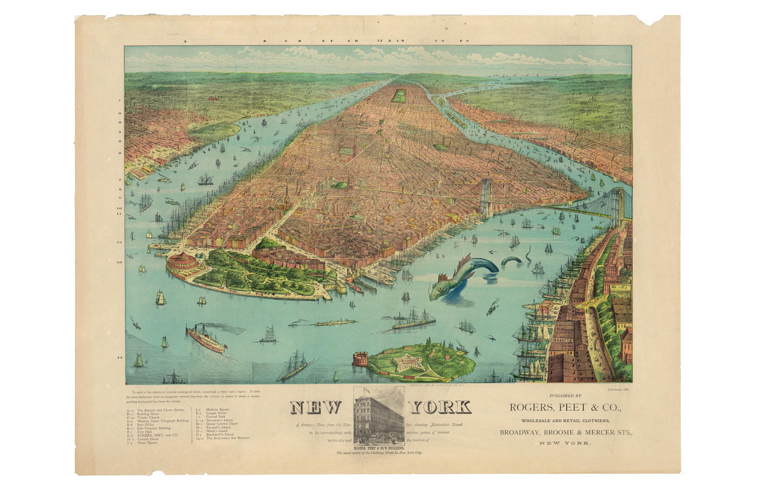
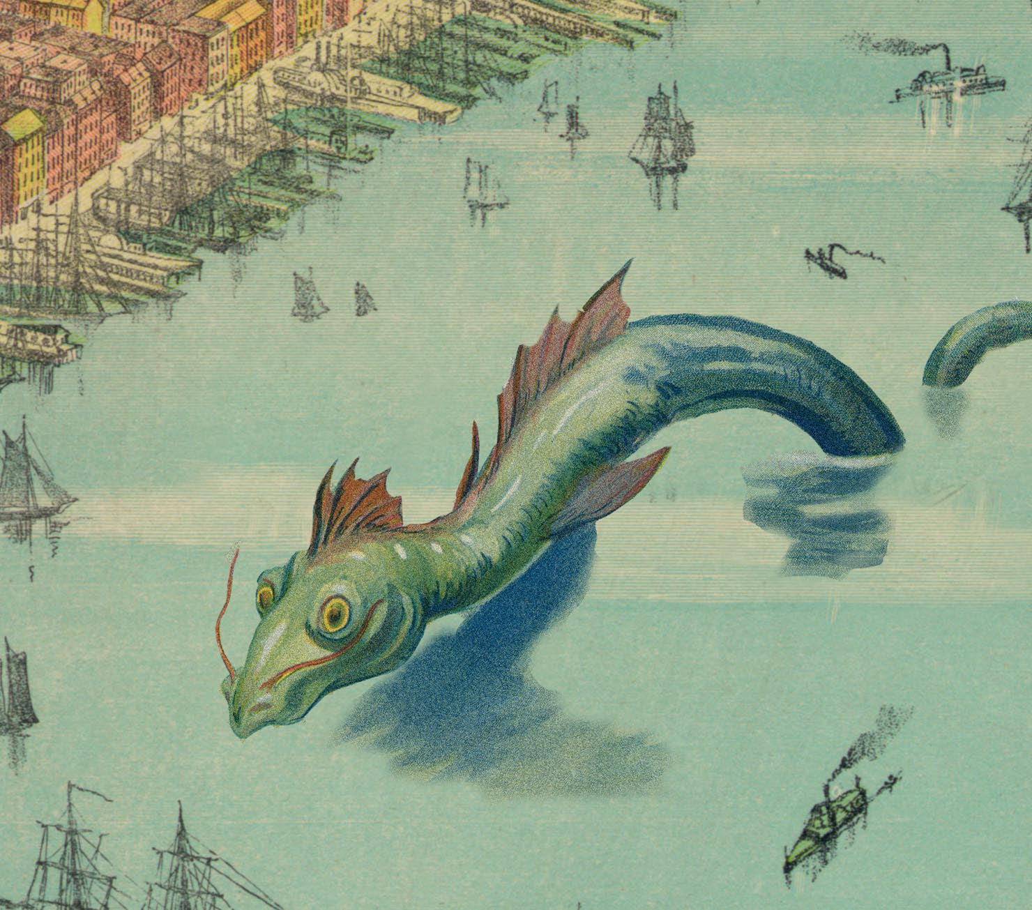
What fine old knickerbocker wouldn't be happy to have this 11 x 17 map hanging on their wall? Comes with this description: Rogers, Peet, & Co. produced this wonderfully colorful...
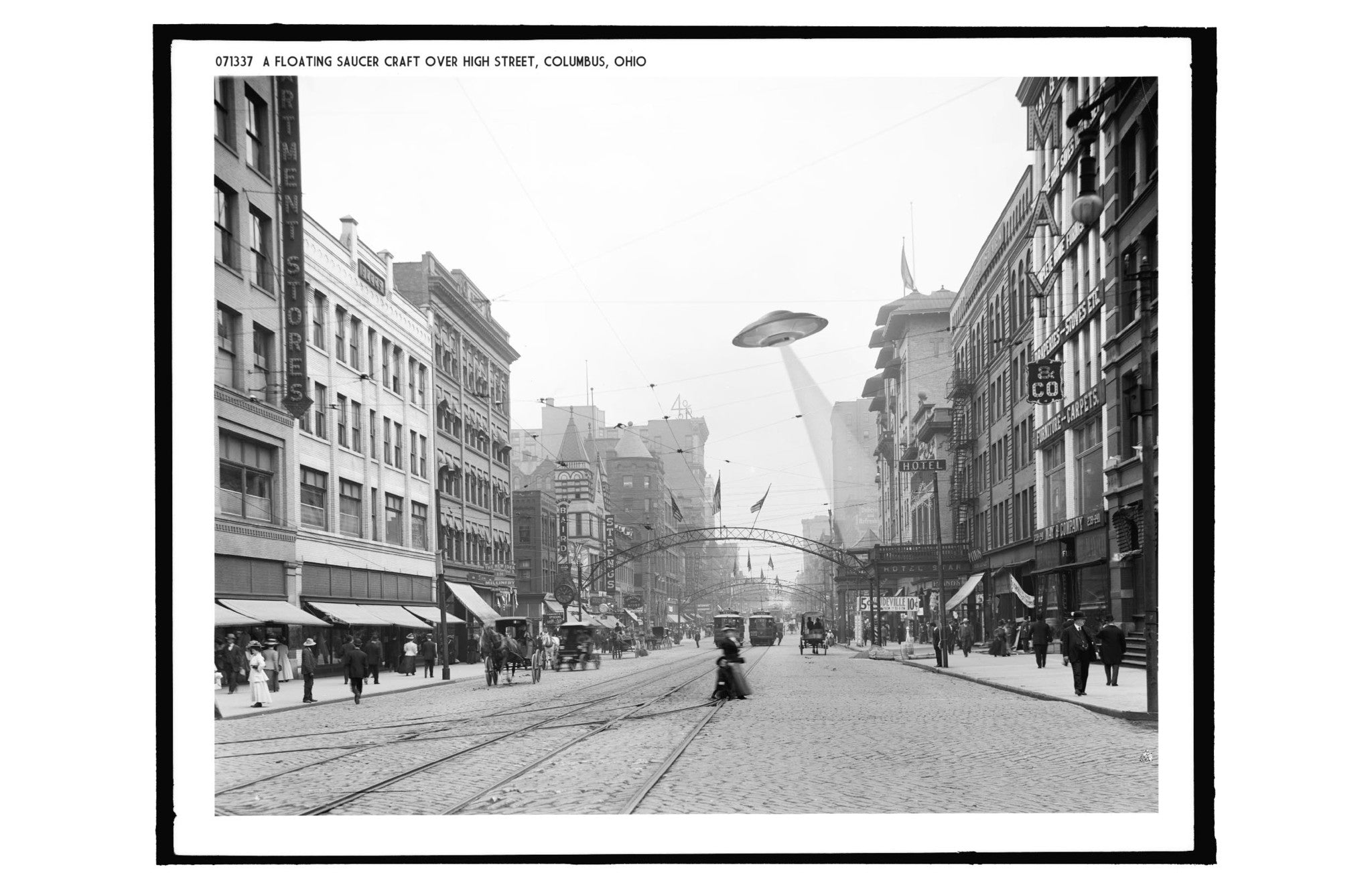
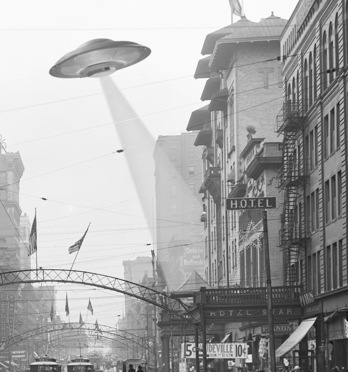
Ah, High Street! Jewel of Columbus, center of commerce and industry! Home to UFOs! Comes with this description: "1905, Columbus Ohio: The down-town area of Columbus Ohio bustled with activity...
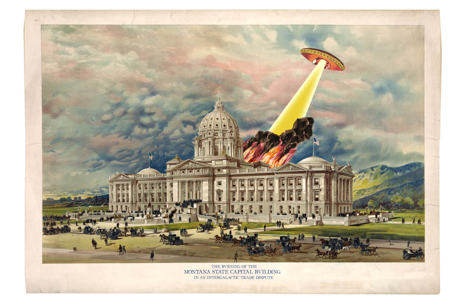
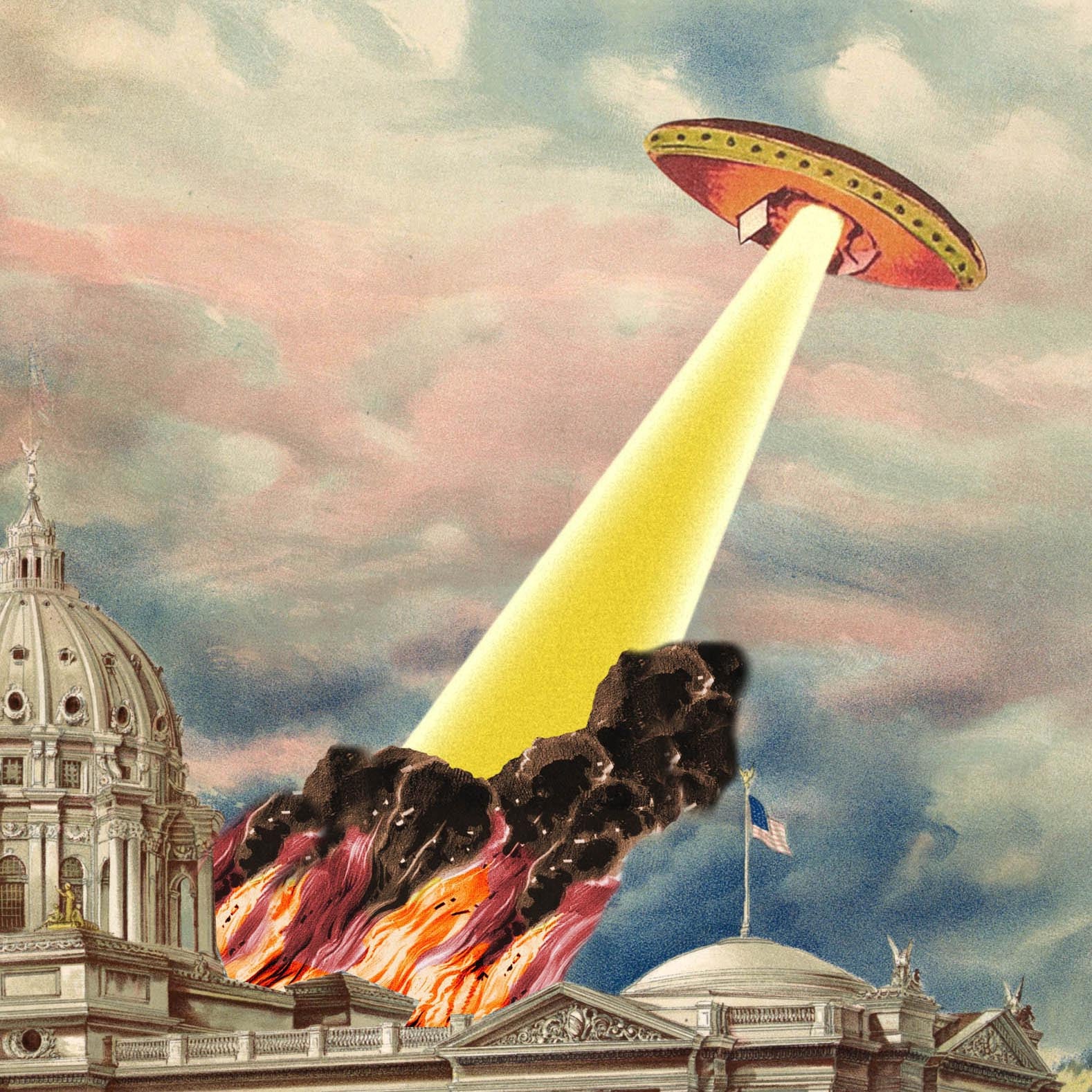
The beautiful capitol dome in Helena, Montana shines light a beacon in this beautiful print, handsomely light up by flames and smoke from a flying saucer attack. Those pesky flying...